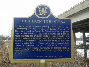
So reads the text of the Ontario Historic Plaque at the Mnjikaning Fish Weirs (or Fish Fence), at the Atherley Narrows near Orillia, Ontario. Last week while traveling for work, my colleague (i.e. employer) very kindly indulged my historic-plaque-collecting mania by making an unplanned stop at the Weirs on our way out of town.
This CTV Barrie video from November 17, 2017, gives a great overview of the site (1:41).
And here’s a satellite view of the location.
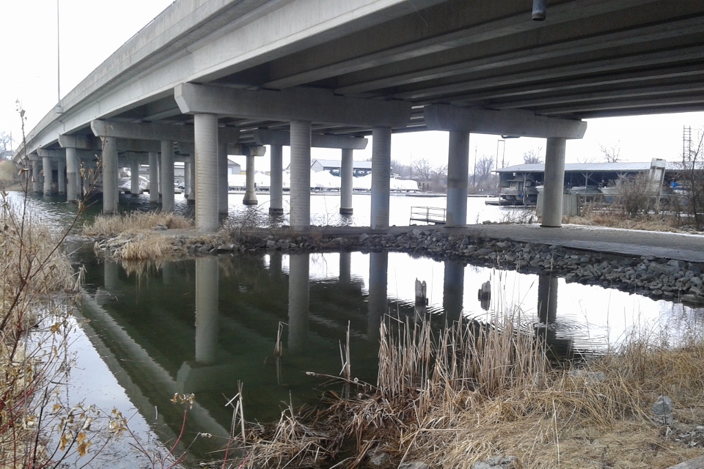
From the roadside (an extension of Bridge Street), visitors walk down a path to the waterline, passing underneath the Trans-Canada Highway (Highway 12) bridge, to a viewing platform.
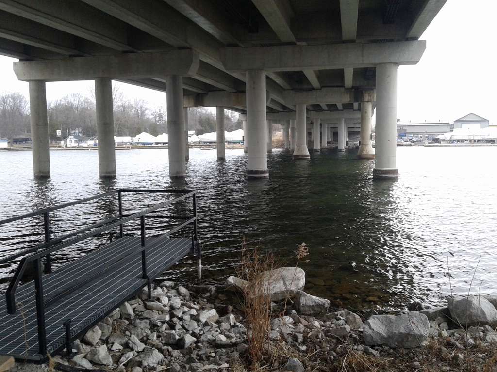
The weirs aren’t visible (or didn’t appear to be, on my visit). However, a November 2015 City of Orillia environmental study report (opens an 85-page PDF) provides great detail about their location and areas of archaeological potential.
Why commission an environmental study report?
A 2017 Toronto Star article about the Town of Orillia mentions that, “There are also plans to build an interpretive centre and a pedestrian bridge over the water at Mnjikaning. The bridge will be the work of Toronto architect Brigitte Shim, who consulted with the Mnjikaning Fish Fence Circle to create her design, which mimics the experience of a fish travelling through the weirs.”
Who looks after such a significant site?
The environmental study report informs us that “The Mnjikaning Fish Fence Circle was formed approximately 20 years ago and is comprised of Chippewas of Rama First Nation community members and area residents for the purpose of protecting and promoting the Mnjikaning Fish Weirs” (p. 1) and that “Today, the Chippewas of Rama First Nation are the stewards of this sacred site” (p. 13).
In this 2012 Ontario Digital Heritage Project video, featuring wonderful aerial and underwater views of the site, Rama First Nation Elder Mark Douglas discusses the creation of the Mnjikaning Fish Fence Circle, and how the site is co-managed (3:32).
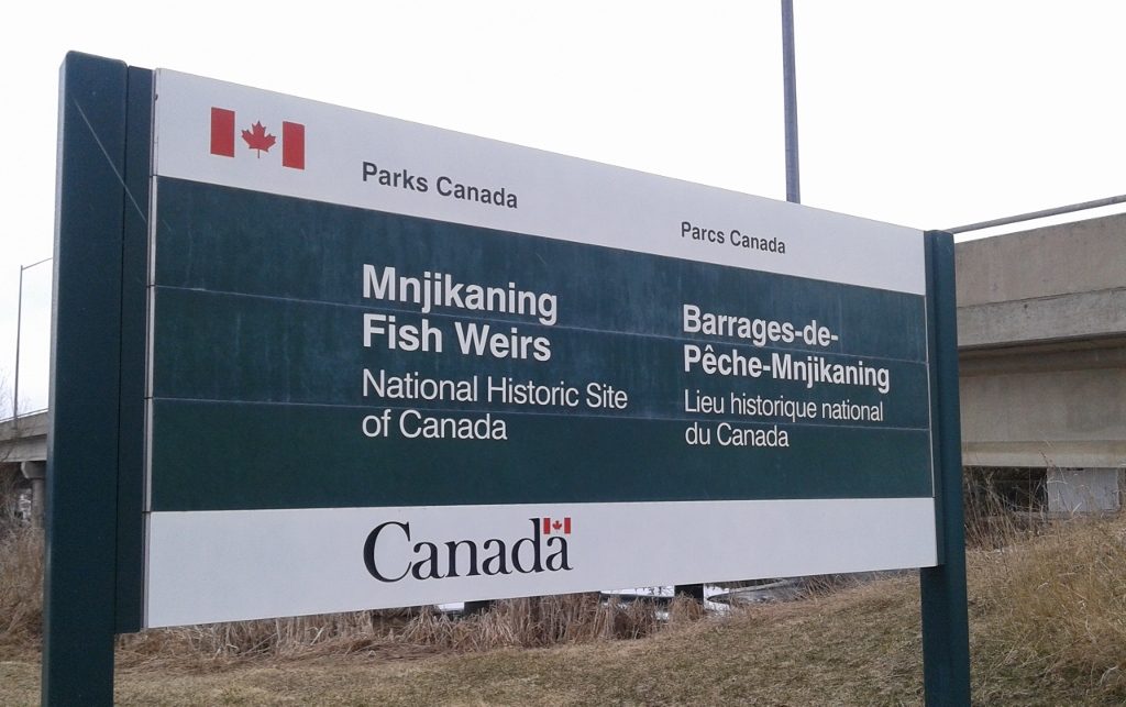
The Parks Canada panel at the site, next to the Ontario plaque, contains thoughtful text which links past to present and encourages visitors to appreciate the spiritual nature of the site.
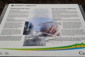
As you visit, look for signs that the Creator has blessed Mnjikaning with many gifts. Fish, birds and other creatures can be seen. The Grandfather Rock, with its four colours (yellow, red, black and white), represents our connection to the ancient world. By respecting the environment, we can make sure this special place remains protected.
It was an unexpected pleasure to visit this Ontario historic site, where Indigenous people have been fishing and meeting for thousands of years, and I look forward to returning another time (in warmer weather!).
Further Reading:
Muskrat Magazine article: “The Secrets of the Mnjikaning Fish Weirs,” by Laurie LeClair, May 28, 2017
Wikipedia: Mnjikaning Fish Weirs
Parks Canada: Mnjikaning Fish Weirs National Historic Site of Canada
“Building Bridges From a Mnjikaning Fish Fence Circle Perspective,” by Janet Turner, in Ontario Archaeology No. 73, 2002
If you found this post interesting, feel free to share it.

